
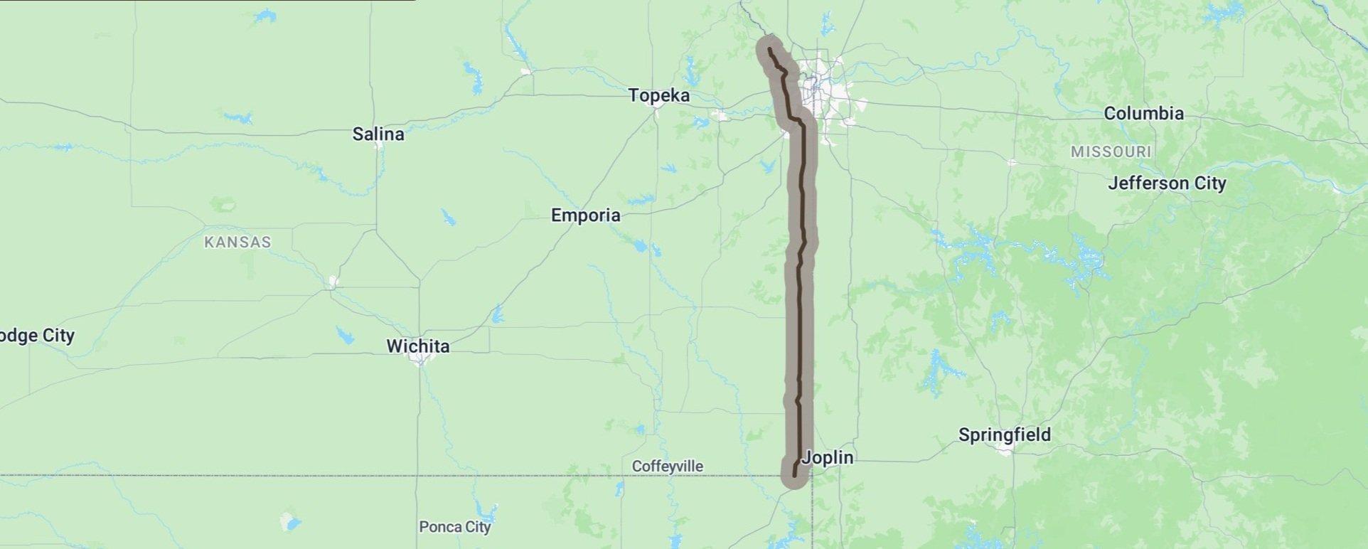
Frontier Military Historic ByWay
Franklin
Pittsburg
Frontenac
Frontier Military Historic ByWay
Tying Fort Leavenworth to the north with Fort Scott at the south before continuing on to the Oklahoma border, the Frontier Military Historic Byway travels 168 miles. The route approximates old military trails the Army used to transport troops and supplies between frontier forts during the frontier days. From a historical perspective, the Frontier Military Historic Byway is a tangible delineation of significant “lines” drawn throughout Kansas history. The byway denotes the eastern edge of the “permanent Indian frontier,” the dividing line of conflict between KS and MO (and pro and anti-slavery forces) during the Bleeding Kansas Civil War prelude, and the edge of civilization for explorers and pioneers moving west -- all pieces of a rich history that can be experienced at various sites along the byway route.
U.S. Department of Transportation, Federal Highway Administration
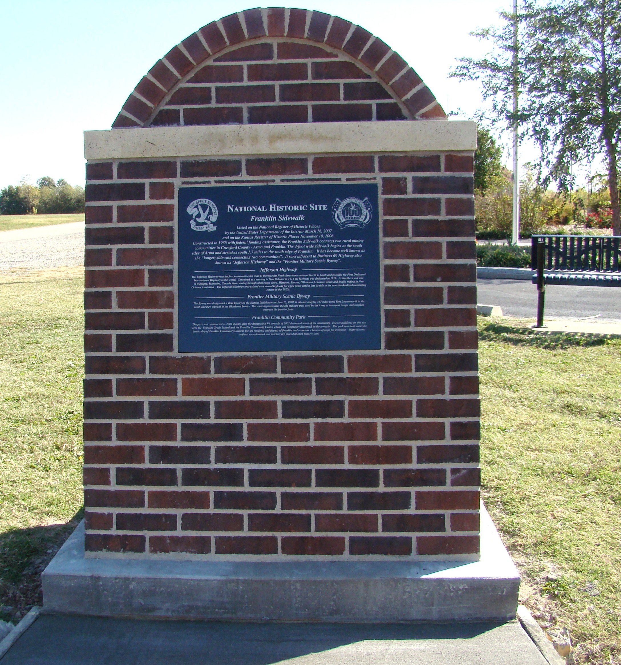
Historic Marker
Visit Franklin Community Park as you travel the Historic ByWay and learn more as you stroll through the park and view the historic signs and artifacts.